

")
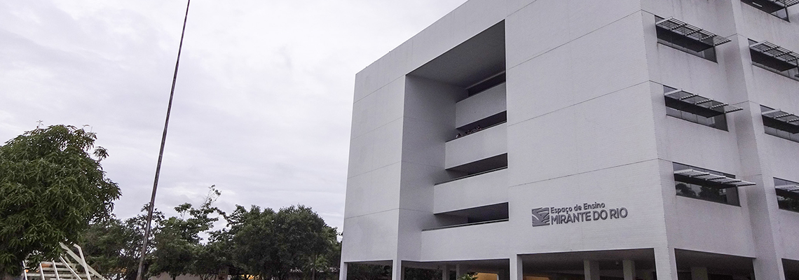

Institute of Geosciences
IG / UFPA has a large number of laboratories, with activities in teaching, research, extension and the provision of services to different types of clients; of these laboratories, the following should be highlighted:
Risk and Untying Laboratory - Lab-RD
This laboratory performs analysis of satellite images for various purposes; obtaining data by remote sensing and using a numerical forecasting model for the purpose of projecting future scenarios; Obtaining data from NASA, NOAA and INMET servers for the purpose of modeling simulations and applications in the eastern Amazon; Use of regional model with calibration and validation and applications in the area of natural disasters for eastern Amazon.
Laboratory: Hydrometeorology / Agrometeorology
It carries out practical classes of undergraduate and graduate courses with the following activities: a) Determination of the precipitation regime of a region; b) Determination of average precipitation over an area; c) Determination of the key section curve of a river; d) Determination of the area of a hydrographic basin; e) Determination of soil moisture; f) Determination of a region's water balance. And field work comprising: a) Determination of the infiltration rate of a hydrographic basin; b) Installation of a millimeter ruler in the section of a river; c) Determination of the cross-sectional area of a river; d) Determination of the net flow of small rivers (surety); e) Determination of the net flow of large rivers (shipped with sextant); f) Determination of the potential and actual evaporation rate of a watershed and a region; g) Determination of air temperature and soil temperature at different depths; h) Interception of rainwater.
Laboratory of Image Analysis of the Wet Tropic (LAIT)
The proposal for the operation of the Image Analysis Laboratory of the Wet Tropic - LAIT aims to consolidate an adequate environment to support the training of human resources (undergraduate and graduate), the generation of knowledge (research and development), and the provision of services to the community. Two basic requirements were considered in preparing the proposal; (1) the laboratory's vocation to be, fundamentally conceived, to operate in the Amazonian environment, and (2) the trend of space technology in Geosciences, increasingly centered on the use of high spatial resolution sensors in microwaves (polarized, polarimetric radars ), optical spectrum (multispectral, hyperspectral sensors) and digital integration of multi-fonts data, as well as geoprocessing and information technology.
Chemical Analysis Laboratory
Performs quantitative chemical analyzes of main elements and traces (silicon, aluminum, total iron, iron II, titanium, phosphorus and loss to fire by calcination) on geological materials: rocks, soils, current sediments, etc.
Laboratory of Studies, Hydroenvironmental Modeling (LEMHA)
They develop hydroenvironmental studies, from the knowledge and modeling of the water cycle, its interaction with the environment and the assessment of the natural and man-made impacts caused, culminating in the development of modeling of the great hydrological basins that make up the Amazon, aiming at the mitigation of effects of critical hydrological events. In this objective perspective: a) to study and develop models aiming to know the Amazonian aquatic system; b) to study the components of the hydrological cycle in the biogeochemical composition of ecosystems and their interactions with this environment; c) compare water characteristics of tropical forest ecosystems and monoculture plantation areas to assess the impacts on water resources associated with this change in vegetation cover; d) simulate scenarios of the replacement of native forest by large areas planted with monocultures by coupling a hydrological model with a regional climate model, to understand the implications for water flows in hydrographic units in the Amazon; e) to study extreme events and their social, economic and environmental impacts, aiming at the development of models for their prevention in order to mitigate their effects.
Hydrochemistry Laboratory
Performs chemical, physical and physical-chemical analyzes of water and similar materials. It provides support for research in the area of limnology, hydrochemistry, hydrogeology and other related areas. In terms of service provision, you are prepared to analyze, among others, with regard to water: pH, Aluminum, Specific conductivity, Dissolved Oxygen, Turbidity, Consumed Oxygen, Color, BOD, Alkalinity, COD, Total Hardness, Total Dissolved Solids , N-Ammoniacal, Solids in suspension, N-Nitrites, Sedimentary Residue, N-Nitrate, Total Iron, Total Phosphate, Chlorides, Orthophosphate, Free Chlorine, Sulphate, Na, K, Ca, Mg, Sulfide, Heavy Metals, Sulphite, Fluorine, Acidity, Total Coliforms, PCBs, and Fecal Coliforms. In the provision of services, the bacteriology sector is specifically intended for the bacteriological analysis of waters, more specifically, faecal coliforms.
Geophysical Prospecting Laboratory
Provides support for research work and undergraduate and graduate classes in the form of data collection, processing and interpretation of the various geophysical methods, with application to prospecting for ores, groundwater and the environment. This is the FAGeof laboratory that is most involved in providing services to the community. In this laboratory are the equipment needed to collect gravimetric data, the main support for understanding the geometric arrangement of aquifer bodies.